
Page 1/1
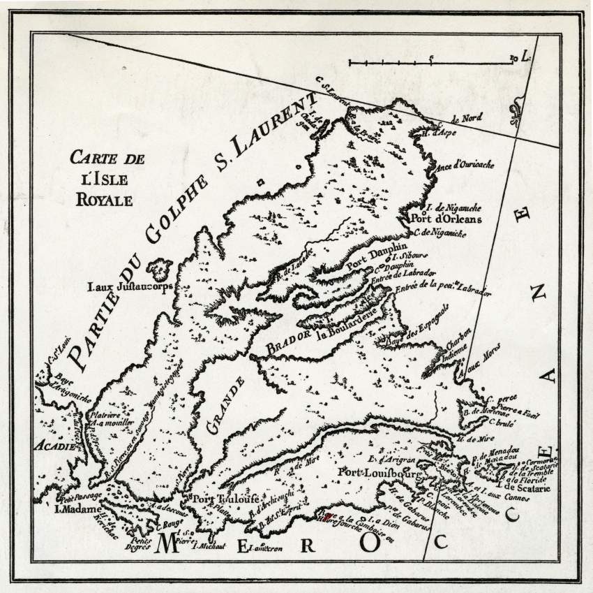
Map of Isle Royale
Dates of Creation: [ca. 1716]
Physical Description: 1 map : b&w ; 15.5 x 15.5 cm
Location: Cape Breton Regional Library - McLennan Collection
Reference Number: CBRL SB.P2a
Scope and Content:
Item is a reproduction of a map for Isle Royale (later known as Cape Breton) which shows several key French sites of the time, including the Port of Louisbourg.
Notes: Item was included in a scrapbook that was compiled by Katharine McLennan, which she donated to the Cape Breton Regional Library.
SHARE


CONTACT US
